The Bird of Prey single-track area could also be known as “the place between the other parks”. You need to know where the trail entrances are, or you might run right by it and never know this area exists. The main trail at Bird of Prey is about a mile long. If you are OK with a few out and backs, this can be about a 4 mile run (a mile to get there and back, 3 miles of single track). All tucked in between Huesta Creek, Bamberger Park, and Fox Park.
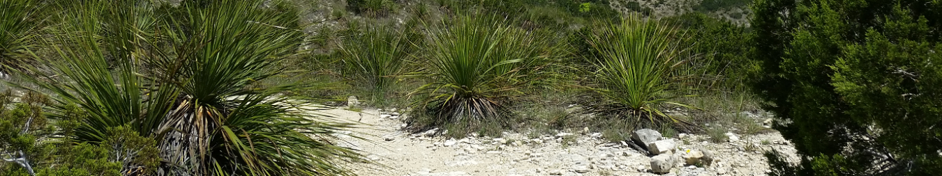
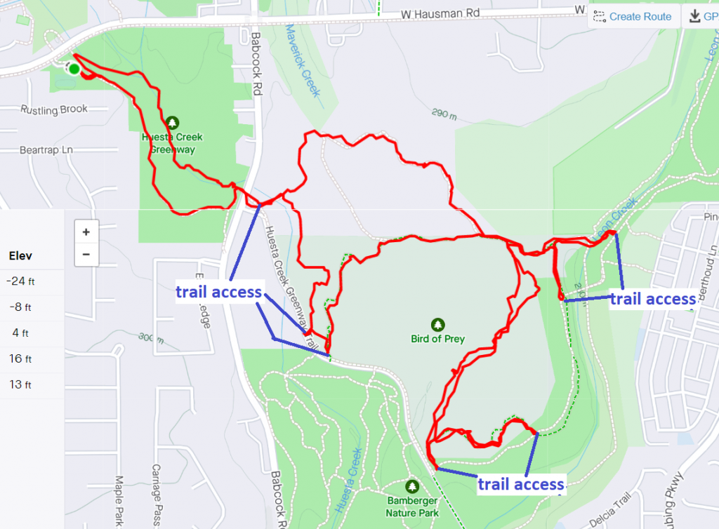
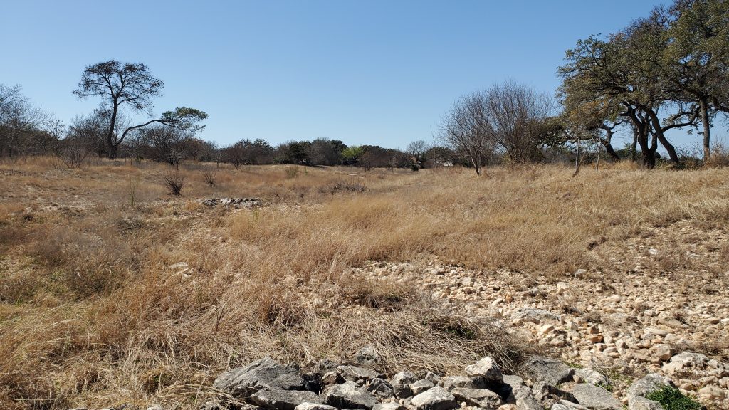
To get to Bird of Prey, I like to park at the Huesta Trailhead. You can either stick to the pavement heading South, or head to the streambed and follow that down toward Babcock. The streambed is unimproved, so expect loose rocks, gravel, uneven surfaces, and briars. If you see my GPS track below, I ran along the streambed going out, then took the pavement coming back:
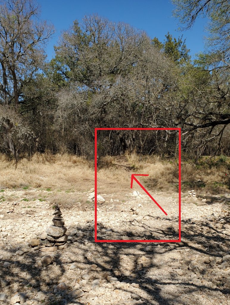
To onto the single track, cross through the Babcock road drainage tunnels:

Then on the other side of the tunnels, instead of taking the paved trail left, head down to and across the stream bed. The single track trail starts here:
If you stick to the Right or the Left at trail intersections, you should be able to follow the trail fairly easily. If you happen to hit pavement, just turn around and get back to the single track.
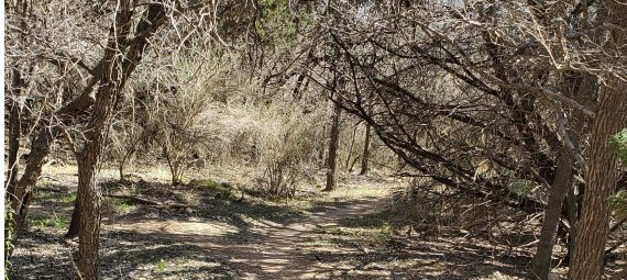
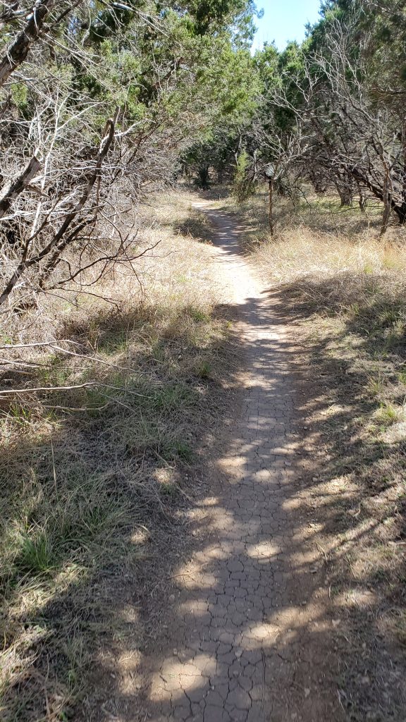
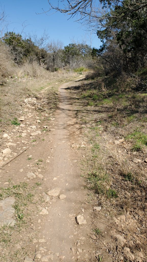
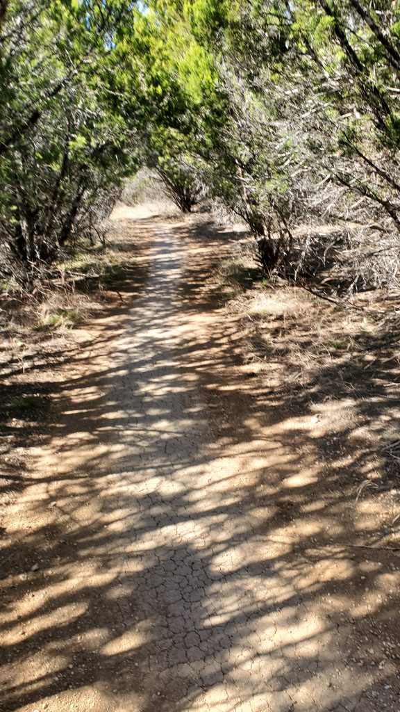
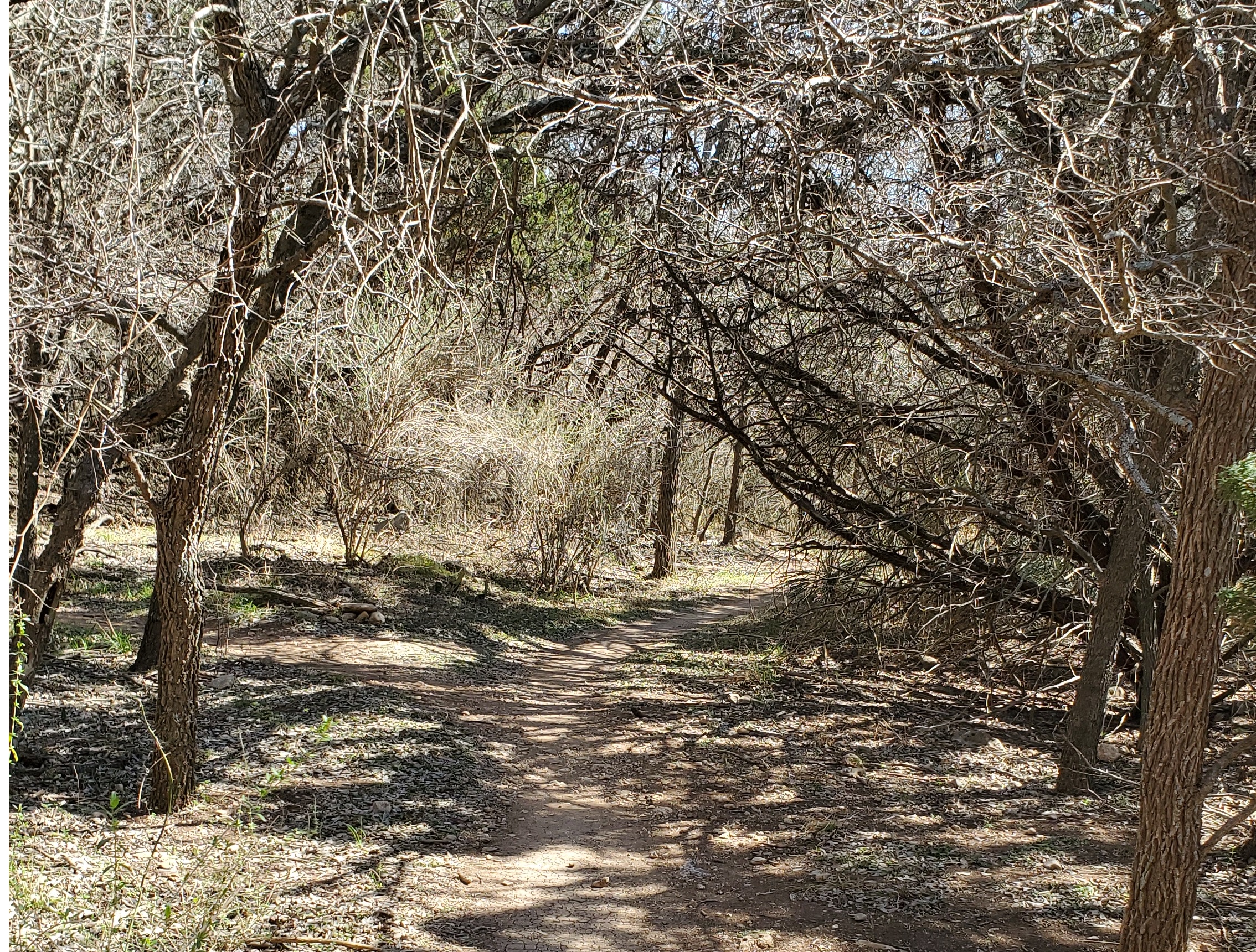
The trail is overall flat and easy. This is the woods, so you do need to watch your step for the occasional root. The trail is mostly under canopy, so it is a nice, peaceful run on a flat, winding trail. For an elevation profile, see the Trailforks site. The North arc of this trail (below Maverick Creek) is a little bit rougher, with rocks, roots, and some short but steep hills.
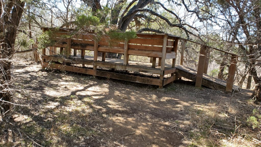
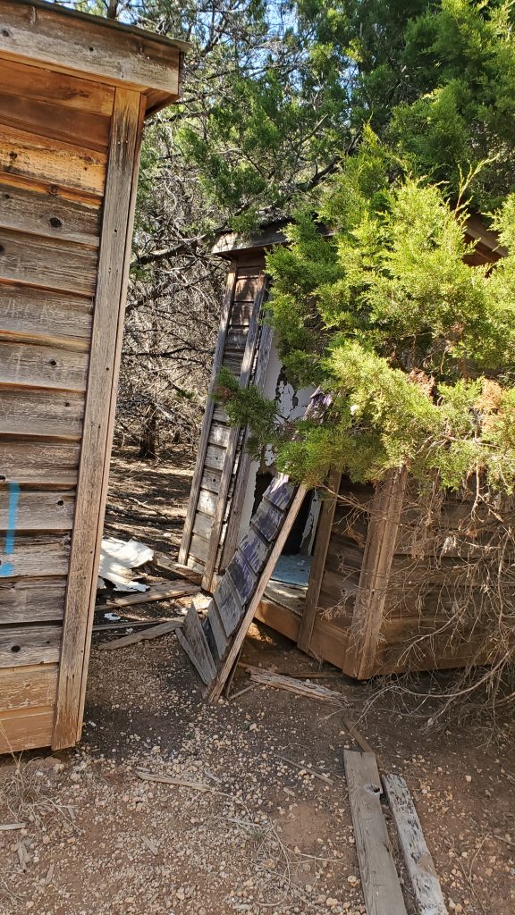
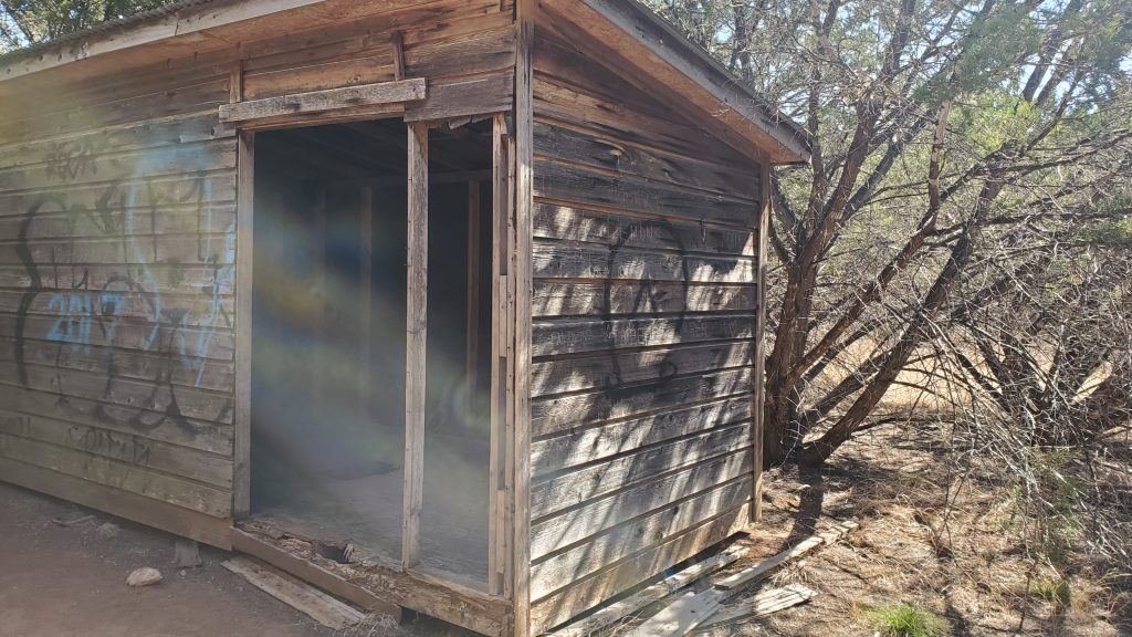
You will also pass a few structures hidden in the woods. There is a low observation platform with benches on the West trail, and a few dilapidated old structures in the center of the East trail.
There were a few mountain bikers on the trail when I went, so I would step off the trail and let them ride on. Not a lot of people; I saw more deer and birds than humans.
Overall, this is an easily accessible and smooth trail run.
Pro Tips
- Easiest access is from Huesta Creek Trailhead
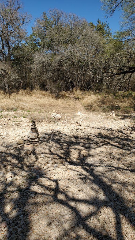
- I’ve marked 7 trail access points on my GPS track, above, in blue. There are also a few more.
- Alternate trailhead for parking is Maverick Creek.
- Mostly a nice, easy flat trail.
- Take plenty of water, there is nothing in Bird of Prey except woods.
- Please be respectful to mountain bikers; step off the trail and let them pass
- This feels remote enough that I was actually startled by deer suddenly appearing in the trail in front of me.
Looks like a fun trail to run! If it has a canopy, it would be great to run in summer.