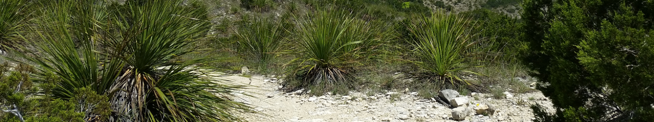
Just North of 1604 and NW Military Drive lies Eisenhower Park. It used to be part of the adjoining Camp Bullis, but was given to the city in 1988 for public access. This is a great place for a moderate hike (the hill!) or for some decent offroad running. This park shows you what the Hill Country used to look like before it was developed. The park is about 300 acres and is located at 19399 NW Military Hwy, San Antonio, TX 78257:
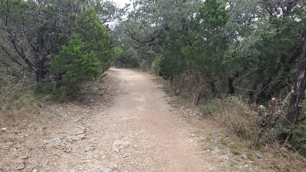
Eisenhower now has a combination of three trail systems. A huge concrete trail that links it to the Salado Creek trail and the Leon Creek Trails, a one mile pavement trail, and about 4 miles of rough dirt trails.
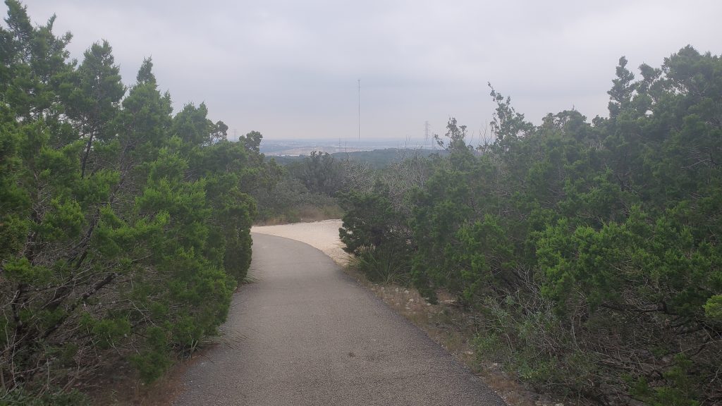
Regardless of which of the three you choose, you are going to head uphill once you leave the parking lot. But, once you get to the top of the hill, there is an overlook with a really great view of the city. The hike up is worth the view!

The easiest way to get to the tower is the paved asphalt trail – just follow it straight up. The concrete trail will get you there, but you will need to find the dirt cross trail at just under a mile from the entrance. It looks like a little corral, with a “no bikes” sign.
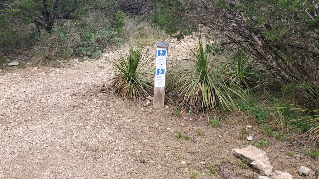
The route I took through Eisenhower Park was about 3.5 miles, taking mostly offroad around the park’s boundary. Start to the right from the parking lot. Skirt the parking lot on the paved trail, then take a right at the offroad marker for the Hillview Natural Trail:

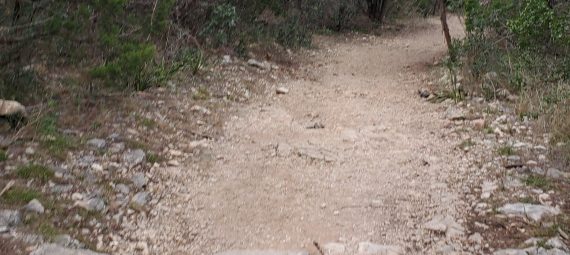
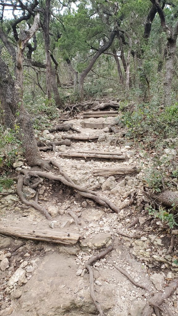
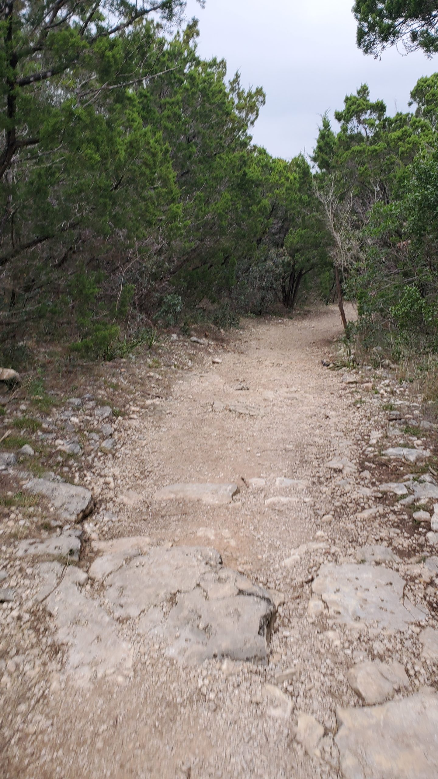
Then just keep to the right at intersections on the main trail, and ignore any small trails that look overgrown. You will encounter some root and rocks, a bit of elevation gain, and a serious set of primitive stairs. Don’t worry though, the climb will be over quickly, in about a mile and a half. Just watch your step. this is a serious trail, especially if you are a fast mover.
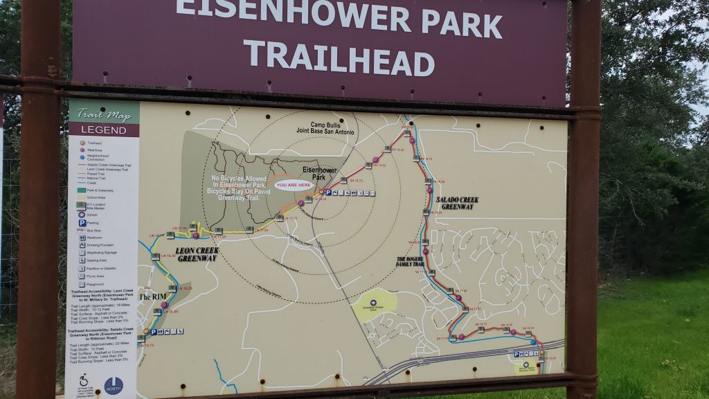
Eisenhower Park Map
Here is the route I took, around the park perimeter:

After you are at the tower, you will head back downhill. In about 30 yards, you will see a small restroom building, with the pavement going straight, and two dirt trails to your right. The first one will take you on a short loop that heads to the park boundary, then back up to the tower. The second one is the continuation of the boundary trail.
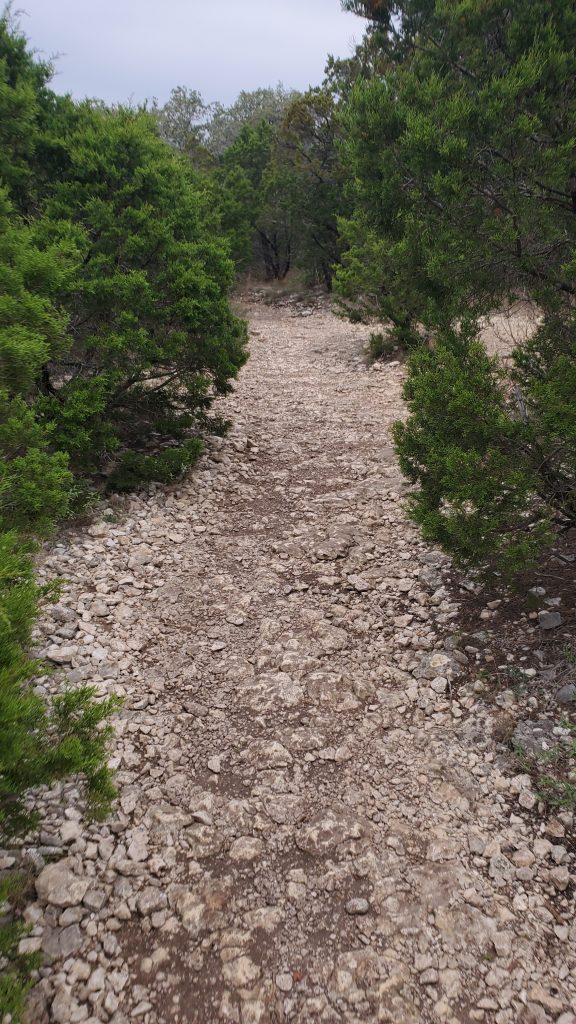
Here’s part of the run on Hilllview trail:
On the downhill segment of the boundary trail, you can choose to take Live Oak trail (Live Oak, right on paved Cedar Flats, right on unpaved Yucca) to stay on the offroad section, or head straight down to the paved concrete trail. The concrete trail offers a nice, smooth and fast downhill run back to the entrance.
Pro Tips:
- Eisenhower Park can be a moderate hike or trail run.
- If you want easy, take the concrete path toward Salado creek.
- If you want a climb, take the concrete path toward the Leon Creek trail
- The boundary trails make for a great trail run, with about 400 feet of elevation gain.
- Restroom facilities at the entrance, and a smaller building up by the tower.
- Great views from the top of the hill!
- You can ride or run over to the Salado Creek trail system or the Leon Creek Trail system on the big concrete trail.
- Over the top of the hill is the Eisenhower Back 9. Not sure if the city is keeping this area open, though.

One thought on “Eisenhower Park Rocks!”