A trail with no name lies just off Grissom Road in San Antonio. Go a few miles West from Bandera Road, and just past Cathedral Rock Park. You’ll see it heading North.

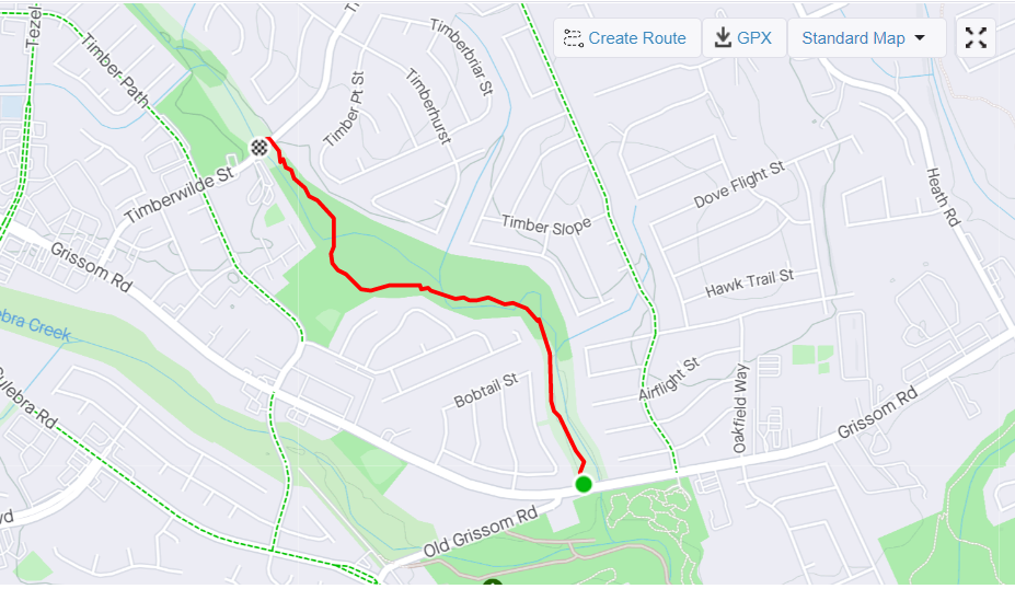
There is no direct parking access to this trail yet (nearest is at Cathedral Rock Park or at Oscar Perez Memorial Park), but you can see it here in Google Maps, heading to the North:
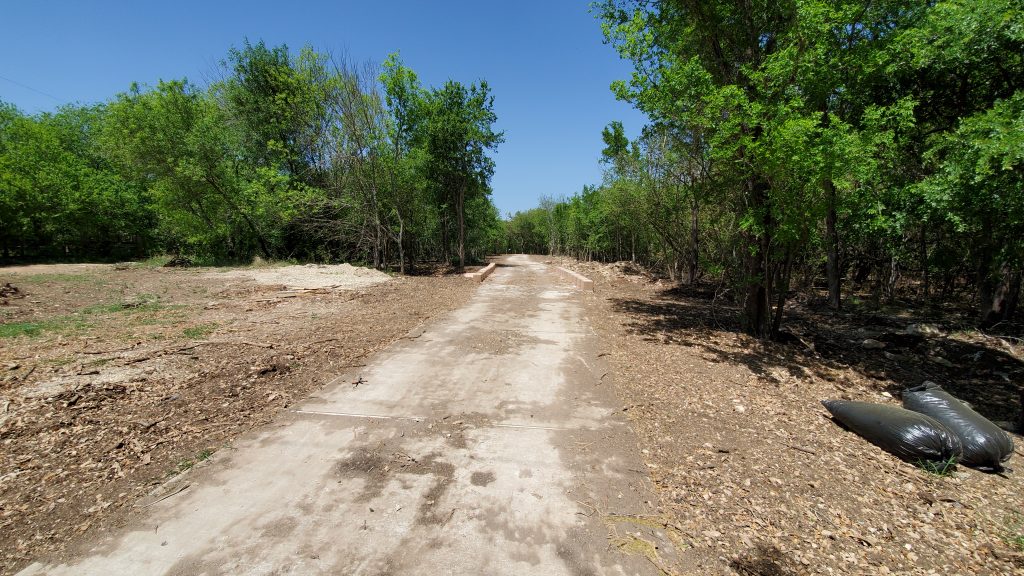
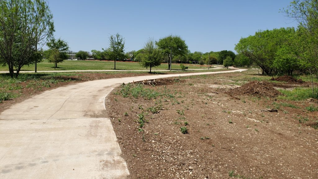
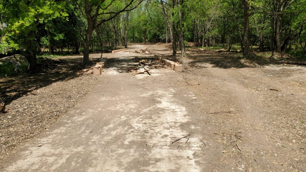
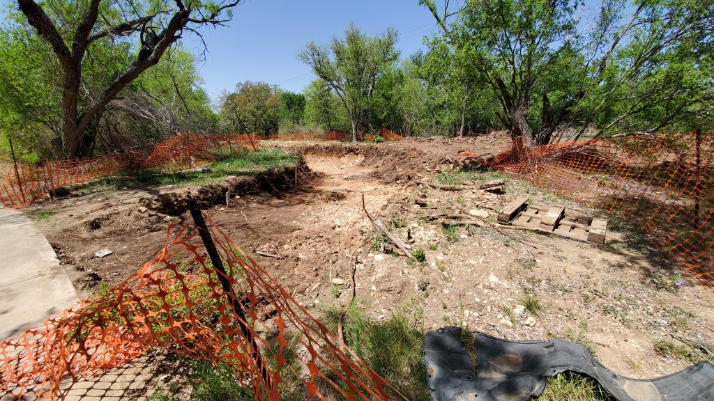
This trail is obviously still under construction. It does not show on Google Maps or on the city’s trail system yet that I can see.
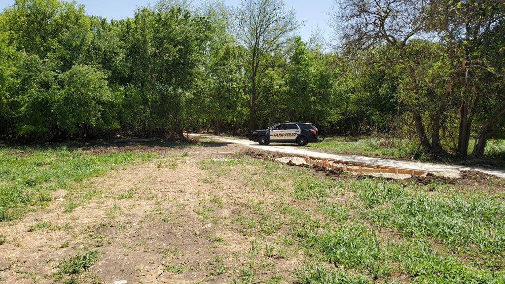
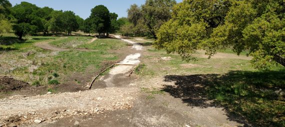
I saw the first signs of it when I was doing a small loop at Cathedral Rock park. I did not know they dug the trail’s foundation this deep!
Me being Me, I wonder: “where does that go”? That thought often falls in line with “What is in that blank area in Google Map”. Thoughts like that can get you in trouble, but this one looked safe.
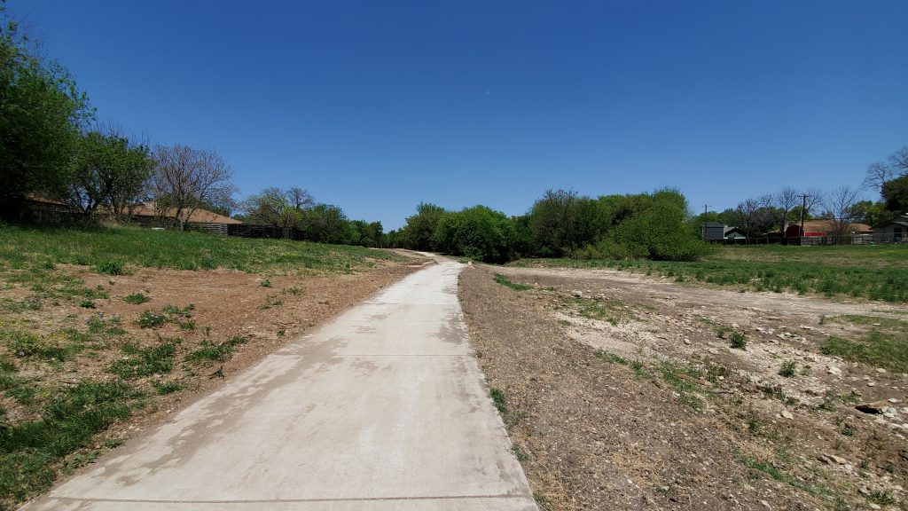
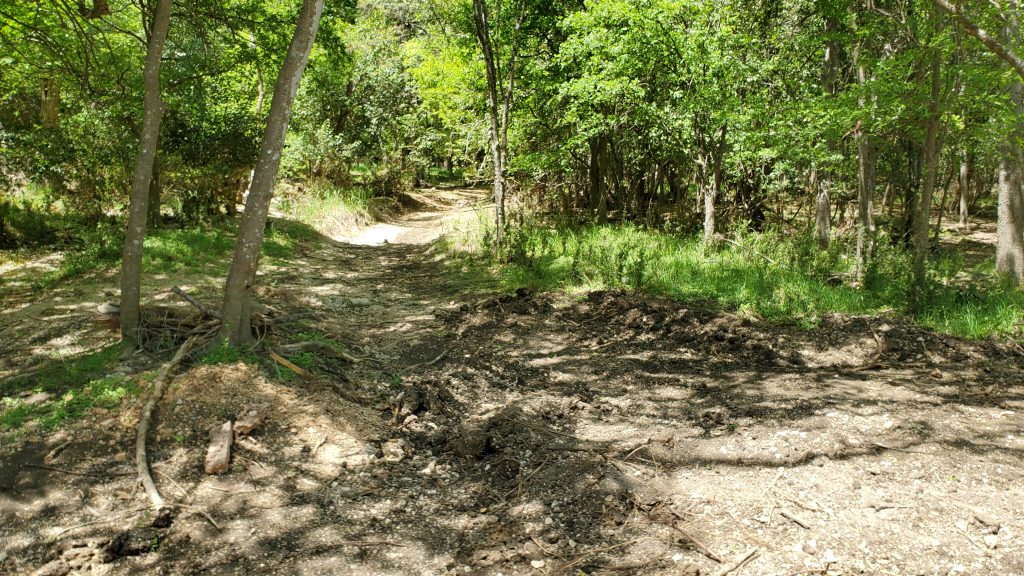
I skipped the construction area, and just headed west down Grissom Road for about 1/2 mile, and the trail picked up there, heading North.
When I looked at my GPS route after, it became obvious what this is. It is an ephemeral stream flowing into Culebra Creek right before the confluence of Culebra Creek and Leon Creek. If you look at the route below, you can see Leon Creek in the bottom right, and Culebra Creek in the bottom left.
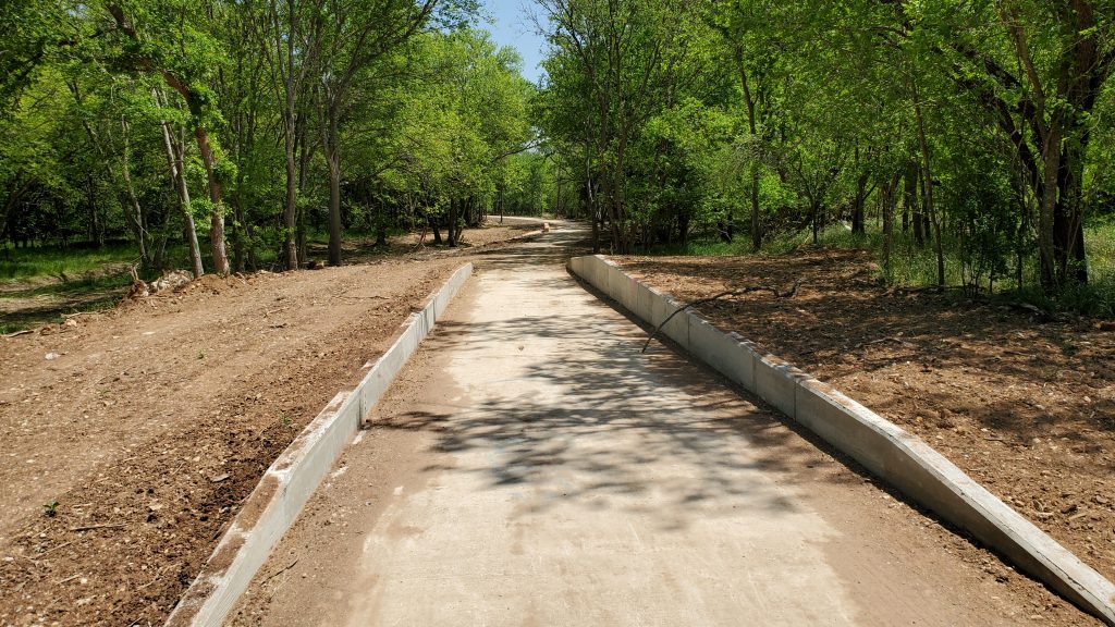
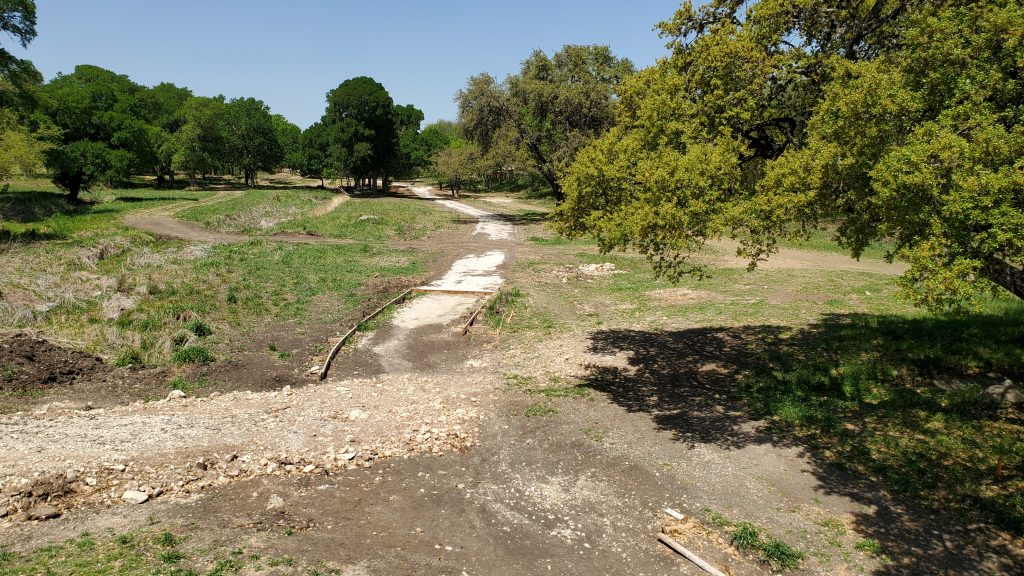
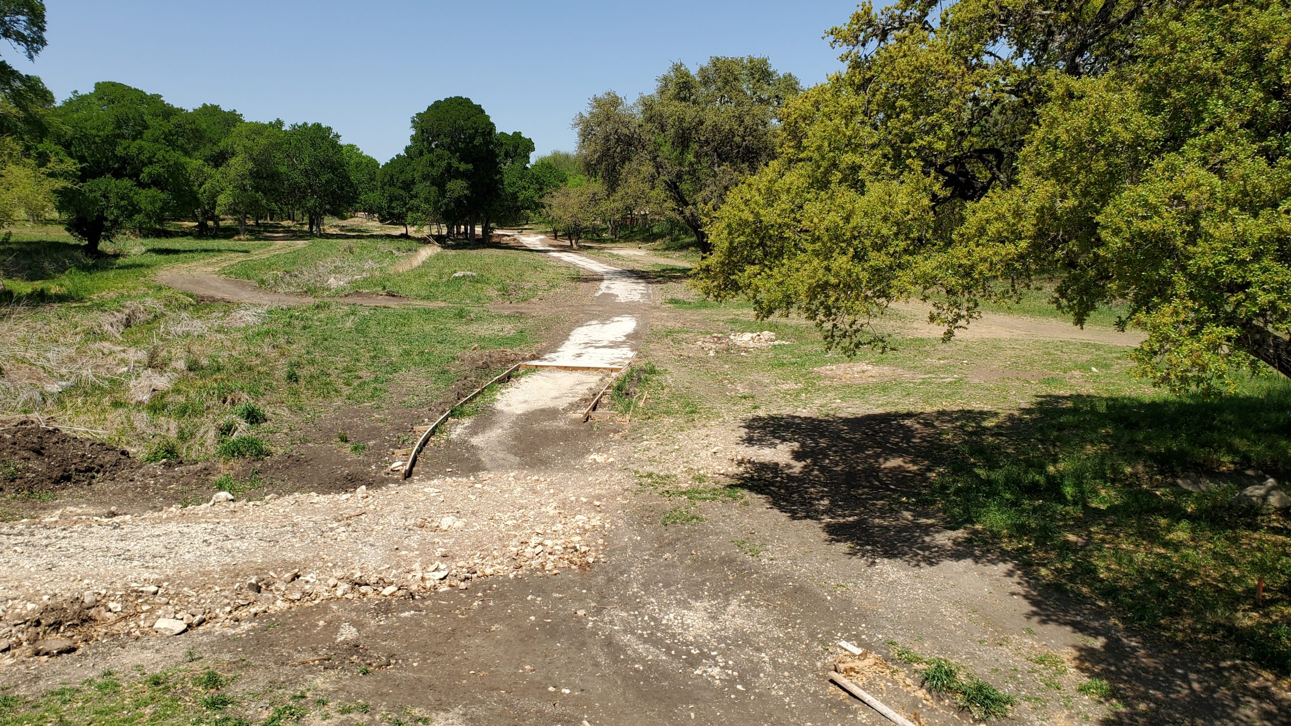
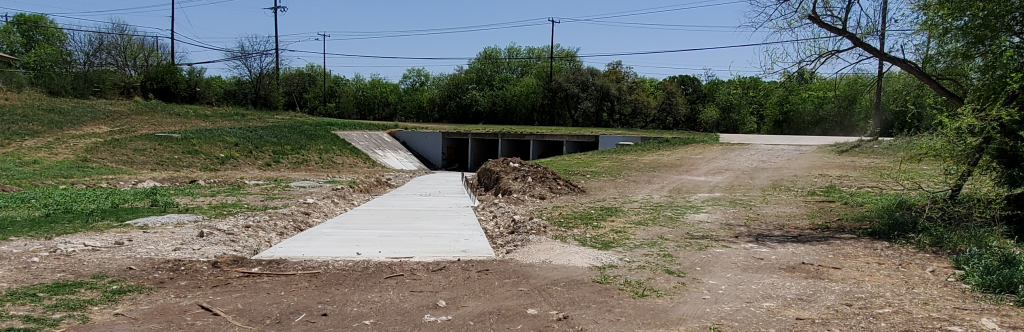
After getting on the trail, you can look back and see where the connection to Cathedral Rock Park is planned, another drainage structure underpass!
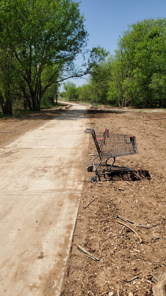
The trail itself is just about the same as most sections of Leon Creek. Nice concrete, wide, and a few gentle hills. There is construction debris on a lot of the trail, abandoned shopping carts, and of course an abandoned mattress. I only saw two other people, and one of them was a Parks Police Officer. The Officer was making sure no one is driving their motorcycle or four wheelers down the path, and he reminded me of the danger of exposed rebar. I stopped at Timberwilde Street, but I am betting the trail will get finished all the way to Tezel, hopefully with a new trailhead there.
I asked the Officer the name of the creek, and he had absolutely no idea. Just being where he needed to be 🙂
After a little digging on the SARA Floodplain map (who doesn’t spend all their time looking at that thing?), I found out that this is officially known as “Tributary A of Culebra Creek”. This creek actually starts all the way up at New Territories Park, but we’ll see if they push the trail through that far.