Eisenhower Park in San Antonio offers a 3.5 mile perimeter trail that has some wilderness, a lot of fun, and a bit of a challenge for you. But getting there can be half the fun!
Instead of parking at Eisenhower Park, try parking at the Rim Trailhead of the Leon Creek Trail, and do a bit of offroad warmup before heading up over the hill to Eisenhower. Sure, there is a paved trail to get there! But why stay on the pavement when you can get out and explore?
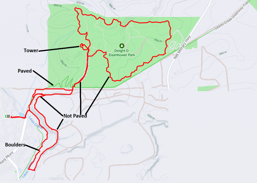
For parking, there is plenty at The Rim behind Target and Best Buy.
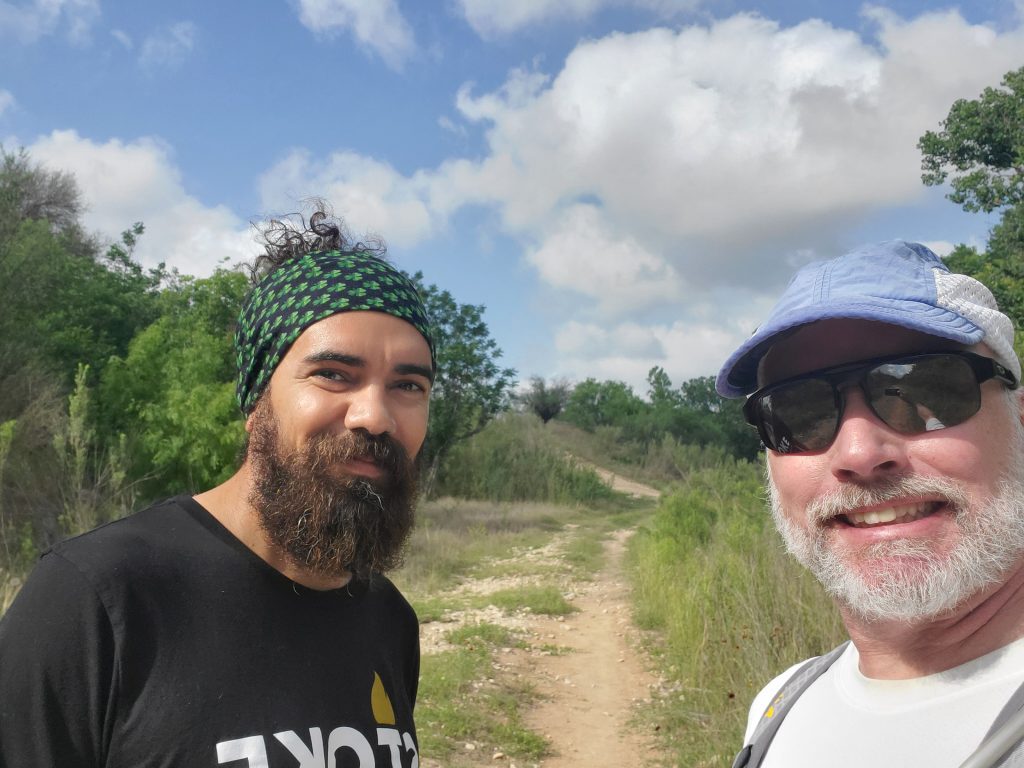
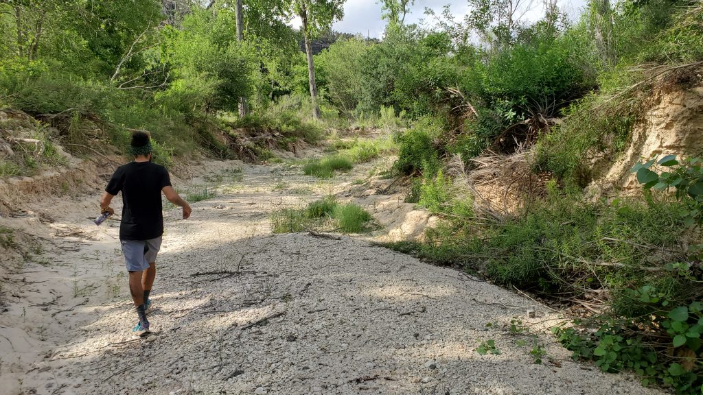
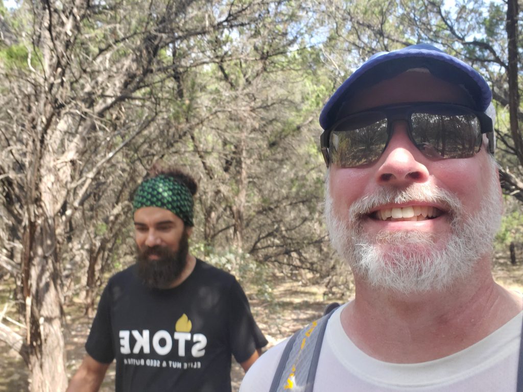
To get offroad, you’ll need to find a trail leading toward the hill, away from the parking area. My friend Roel and I went out to explore here, and I was happy to have him help with cutting through some areas of underbrush. There are a few trails between the pavement and the hill, and even some mountain bike routes.
The easiest way to get started is to take the offroad segment at the corner of Worth Parkway and La Cantera:
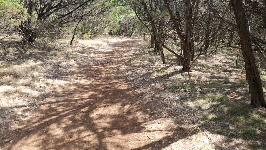
From the entrance shown above, just go down the hill, cross the pavement, and keep going on the dirt trail that heads off to the right
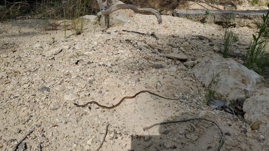
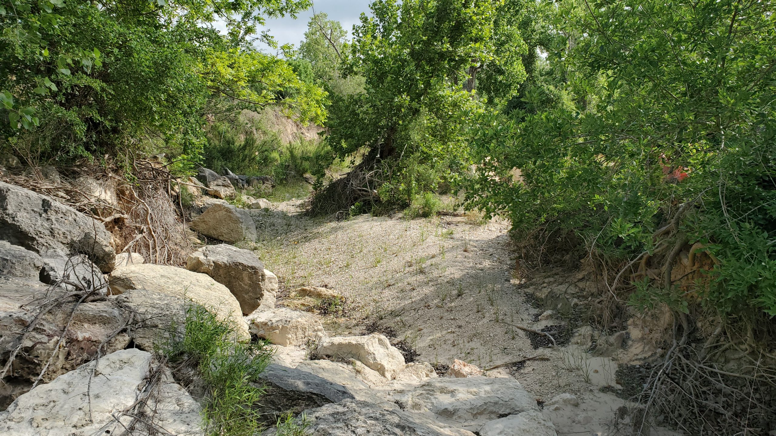
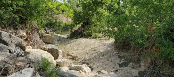
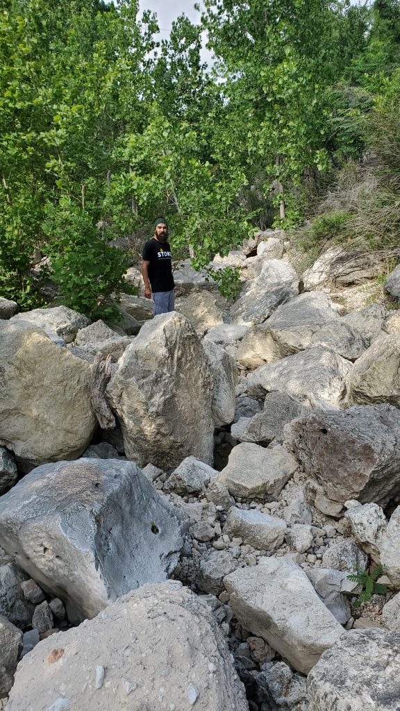
Roel and I ended up taking the creek bottom South, as we never saw the bike trails back there. This is pretty much not a trail, and you will need to bushwhack. There is even a small boulder field you will need to navigate.
You will see the cliff of to your left as you go south. Keep heading south until you see trail clearly heading uphill. If you get to the creek underpass under Vance Jackson, that is your last chance to turn left and go uphill. Head straight for the hill, staying in the shade of the underpass, and you should see a trail heading up the hill and slightly to the left (special thanks to Fairweather Steve for showing me this route a few months ago!)
Climbing out of Leon Creek
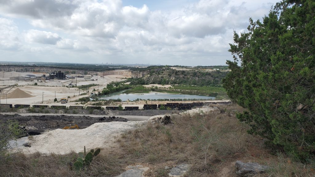
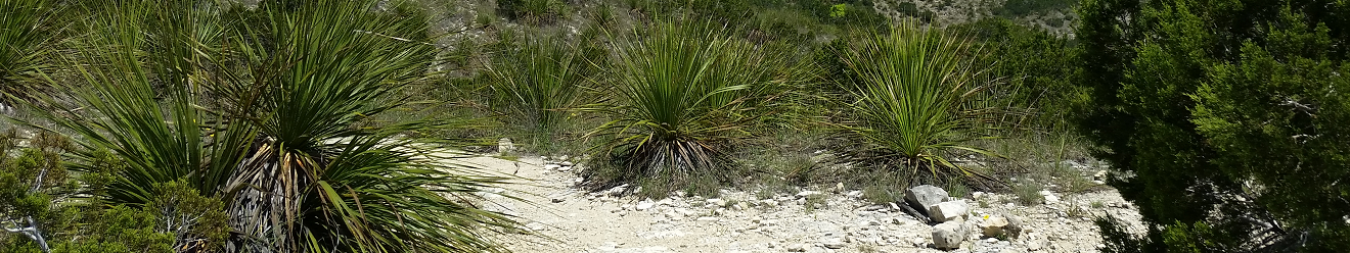
After turning uphill, you will be on a rough dirt trail that runs through some scrub and yucca. The yucca will cut up your shins a bit, so you will have a nice souvenir of your hike! Keep on the trail until you hit the ridgeline, and follow that going north. You will have some views of the quarry to your right as you head up the ridgeline, but stay on the ridge to avoid their property. After about 1/2 mile, veer left at an intersection so that you stay on the ridgeline instead of heading in to the quarry.
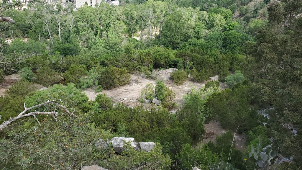
You will have some awesome views of the Rim to one side, and the Quarry to the other. On a clear day you can see the Tower of Americas in the distance (on the Quarry side). As we stood their and admired the view for a few moments, Roel pointed out “Wow! Most people will never come up here and see this view. They’ll pass by places like this their entire life and not see what we are seeing today”.
If you are on the correct route, you will not see any “No Trespassing Signs”. If you do see a sign like that – retrace your route and get out of the Quarry. They use explosives in there.
Pasture View Descent
Keep on the ridgeline until the trail curves to the right (going due east), and you can see the large pasture north of the Rim. You’ll see what looks like a gravel road leading down to the left. It is overgrown a bit. Head down there to get back onto the Leon Creek Extension to Eisenhower. If you have to scramble down the hill and go through a very tight trail leading downhill through undergrowth, you are in the right place! This exits onto a gravel trail that parallels the Leon Creek trail. Head to the right.
A Little Hope
Now you need to climb the hill that leads over to Eisenhower. On Strava, this segment is named simply “Little Hope Lower Ascent”. To me, it does not seem little, although “Ascent” does describe it pretty well.
When you get to the top (with the concrete barriers in front of you) turn left. Cross the paved trail and veer up and to the right in the gravel clearing. You will see a small wooden corral-type structure in about 30 yards. This is the entrance to Eisenhower Park.
Eisenhower Park
Once you are in Eisenhower, you have options for paved or offroad. For a description of the trails there, please see my post: Eisenhower Park Rocks! and the official trail map here: Eisenhower Trail Map.
Heading Back
Once you have finished playing at Eisenhower, time to head back. You will eventually end up at the top of the Little Hope Ascent (see above). You have a few options here!
- Stick on the pavement and head downhill (easy)
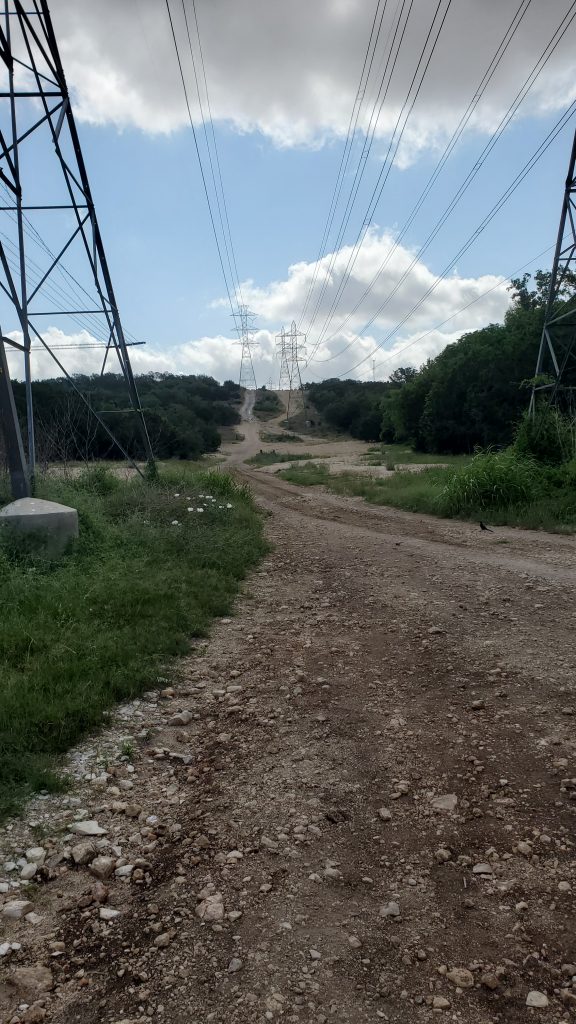
- Take the offroad downhill under the powerlines (medium)
- Go along the concrete structures to the far side of the clearing and look for a small trail leading out onto the ridgeline (medium, but fun!)
If you choose the ridgeline, you will eventually come to the intersection where you can take the Pasture View Descent (see above), or you can head back down the ridgeline you ascended.