San Angelo State Park is just adjacent to the city of San Angelo, and not more than a 10 minute drive from most parts of the city. This park has a lot of trails, with over 50 miles to explore. While I was in San Angelo, I was surprised that most of the people I talked to had never been to this park, even though it is just a few minutes away from where they have lived their entire life! Reviews of this park include terms like “barren”, “hot”, “isolated”. All true, but to me, that is part of its beauty.
The park is located at 362 S. FM 2288, San Angelo, TX 76901. Here is a link to the official State Park site and the trails map: South Trails Guide.
San Angelo State Park Hiking
The park was opened in 1995, around a reservoir built by the Army Corp of Engineers. The park has two entrances, North and South, with the South being closest to town. The entrance fee is $4 per person per day. The park offers swimming, kayaking, fishing, hiking, camping, and areas for horseback riding.
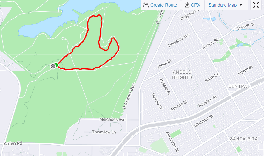
For hiking, you have a lot of trails to explore! This post covers one of the easiest in the park, the Roadrunner Trail, a 5k loop near the park’s South entrance. Other areas of the park have more difficult trails, and of course you explore and of them or hop between them. Here is another link to the park’s hiking trail guide.
The South entrance is closest to San Angelo, but there is also a North entrance just seven miles up the road. The North entrance has the bonus feature of a trail to see dinosaur tracks! Here is the park’s map of the North Trail System.
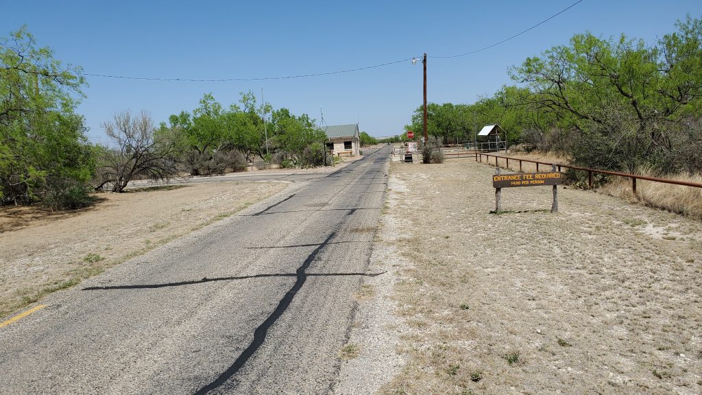
On my visit, I ran the Roadrunner Trail, which starts about a dozen yards from the south park entrance, on the right side of the road.
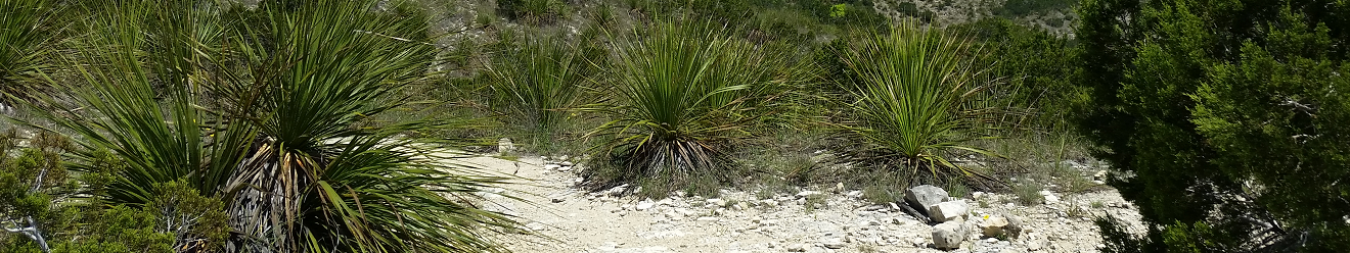
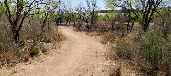
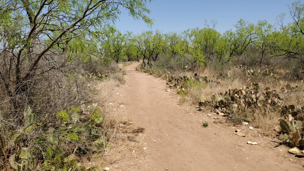
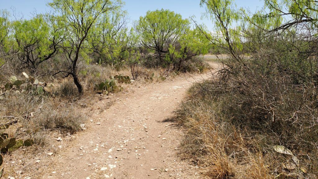
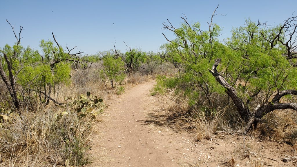
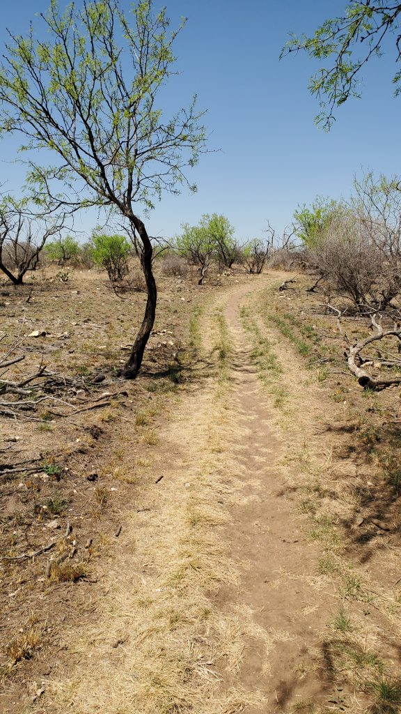
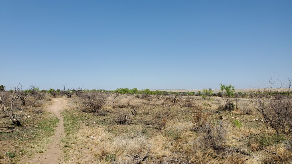
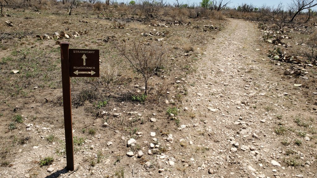
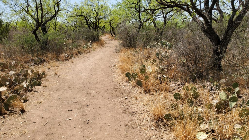
Roadrunner Trail is the easiest and flattest trail in the park. It is a 5k loop that meanders through low scrub and prickly pear cactus. The trail is packed red dirt, with the occasional rocky stretch. The trail parallels the road much of the way and passes quite a few camping areas. At the far end of the trail, you can get a brief view of the reservoir. Roadrunner passes another trail, Strawberry Trail, a few times and the intersections are clearly marked with signs.
San Angelo State Park Map: Entrance
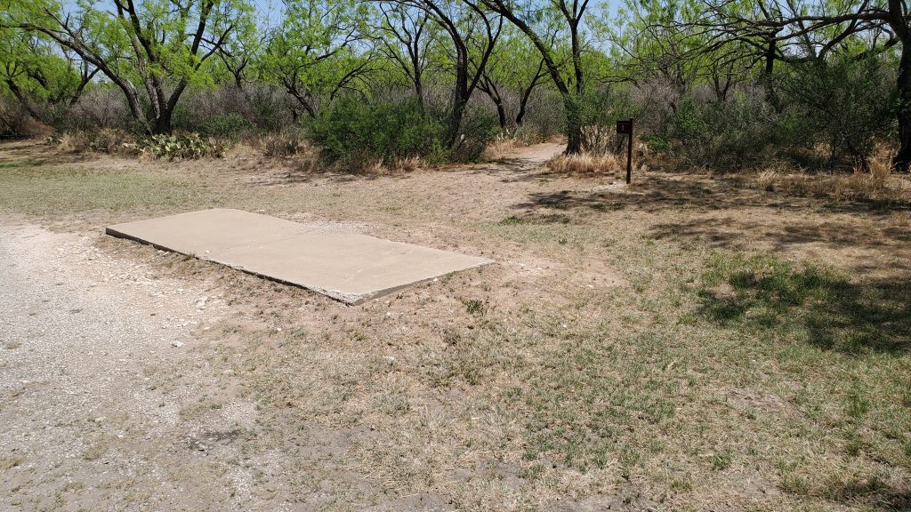
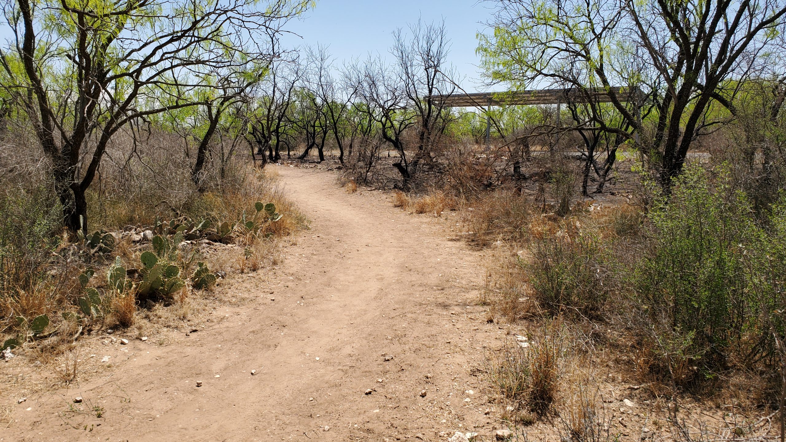
Heading back in toward the entrance, you’ll pass the Red Arroyo Camping Area, which also has a playground for the kids. San Angelo State Park mentions wildlife such as deer, javelina, and bison, but all I saw were a few birds and a lizard. If you are patient, I am sure the deer and other wildlife would eventually walk by you: there are not a lot of people in the park.
I ran the loop in April, and with the temperature already above 80, you can tell that this will be a severely hot place to be in the middle of the summer. Definitely take care to bring enough water with you!
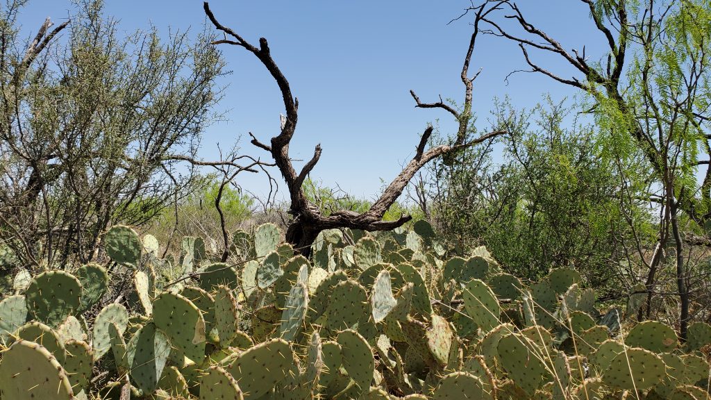
I found Roadrunner Trail very peaceful. I did not encounter anyone else on the trail, and just stopped and listened to silence and maybe a gust of wind a few times. There was a recent controlled burn to reinvigorate the flora. The contrast between the old burned sections and the bright green new growth was spectacular.
There are many more miles of trail to explore here, all more challenging than Roadrunner Trail. But for a nice peaceful walk or quick run, this is the trail to take.
If you’d like to get out and explore beyond San Angelo, please check out my other trail reviews here: Map of TexasTrailRunning Reviews.
Love to see where you are running!